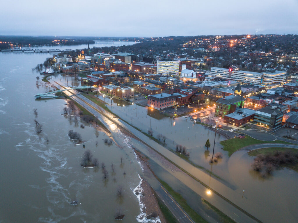
U.S. flood management efforts are inadvertently driving development into vulnerable areas just outside regulatory flood zones, thereby increasing the nation’s exposure to flood risks, according to a new study. This trend, coupled with climate-driven intensification of flooding events, poses significant challenges for local governments, insurers, and emergency management agencies.
An analysis of development patterns across 2,330 U.S. counties has revealed that nearly 24% of all developed land is concentrated within 250 meters of designated 100-year floodplains. This concentration of infrastructure and population in areas adjacent to high-risk zones raises serious questions about the effectiveness of current flood management strategies, according to the study’s authors from North Carolina State University’s Center for Geospatial Analysis.
The pattern of development clustering near floodplain boundaries reflects a delicate balance between the desire for proximity to water bodies and the avoidance of officially designated high-risk areas. While properties within the 100-year floodplain are subject to stricter building requirements and mandatory flood insurance, those just beyond the boundary often escape such regulations. This creates a false sense of security for residents and businesses in these adjacent areas, potentially leaving them unprepared for flood events that exceed official risk designations.
The implications of this development trend extend beyond individual property risks. As climate change intensifies the frequency and severity of flooding events, the exposure of communities and infrastructure in these border zones is likely to increase, according to the study. This growing vulnerability poses significant challenges for local governments, insurers, and emergency management agencies tasked with protecting lives and property.
The binary categorization of flood risk zones – either inside or outside the 100-year floodplain – oversimplifies the complex nature of flood hazards, the study’s authors say. This simplification may be contributing to risky development patterns and inadequate preparedness in areas that, while technically outside official flood zones, remain vulnerable to extreme weather events.
Geographical variations
Geographic variations in this trend are notable, with some states showing particularly high concentrations of development near floodplains. Florida, for instance, has approximately 9,600 square kilometers of developed land within 250 meters of floodplains, accounting for a substantial portion of the state’s total developed area. Texas follows closely behind with around 7,500 square kilometers in this zone.
The pattern of development differs between coastal and mountainous states. Low-lying coastal states with large floodplain areas, such as Louisiana and Florida, tend to show more evenly distributed growth across all distance zones beyond the floodplain. In contrast, mountainous states like Montana and Idaho, with limited flat areas typically near rivers, exhibit some of the highest proportions of developed land in the immediate vicinity of floodplains.
Two case studies illustrate the real-world implications of this paradox. In Beaufort County, North Carolina, the impacts of Hurricane Florence in 2018 revealed that while 63% of flooded buildings were within the designated floodplain, another 23% were located in the 250-meter zone just outside it – an area officially considered to have “minimal” flood risk. Similarly, during a 2018 flood event along the North Fork Kentucky River, 12% of affected buildings were situated in this adjacent zone.
Policy Recommendations
As flood risks continue to evolve, policymakers and risk managers are exploring new approaches to better protect communities and assets. The Federal Emergency Management Agency (FEMA) has taken a step forward with its Risk Rating 2.0 methodology, which aims to provide more accurate flood risk assessments, the report noted. This new pricing methodology incorporates spatially varying flood risk factors, such as flood frequency and distance to water, to more precisely depict property flood risk.
However, Risk Rating 2.0 has limitations. It is restricted to the designated 100-year floodplain and only influences property flood insurance rates. According to the report. some experts argue that a shift toward property-specific flood risk assessments or spatially continuous estimates of flood hazard is necessary to provide a more comprehensive understanding of flood risk beyond the 100-year floodplain.
Enhancing risk communication methods is another crucial strategy. By effectively conveying the risks of flooding and promoting mitigation strategies, overall damage can be significantly reduced. Risk managers recommend utilizing multiple sources of reliable flood risk information that residents can consult, beyond just FEMA’s flood maps.
View the full research report here.
